Mapping Tools & Services
What Support is Available?
- Geospatial data discovery and access
- Selecting an appropriate mapping tool
- Hosting a workshop specific to your class
- One-on-one consultations
Ask Us!
Get help from librarians by email, phone, 24/7 chat, or make an appointment with a subject expert
Geospatial Data Resources Guide
The UW Libraries provides digital geospatial data for research and educational use. Our collection focuses on the Puget Sound and State of Washington areas, but we also have national and international datasets.
Featured Mapping Tools
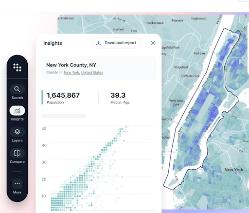
ESRI Software
Suite of GIS tools available to UW affiliates (faculty, students, staff) including ArcGIS Pro and ArcGIS Online.
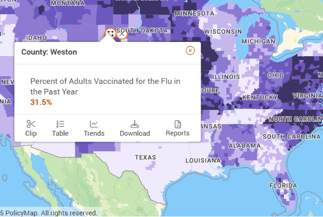
PolicyMap
Online mapping tool with data on demographics, real estate, health, jobs and more in communities across the United States.
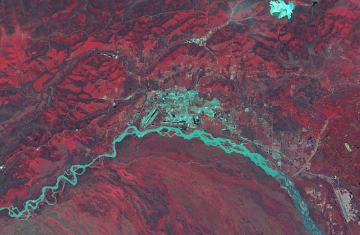
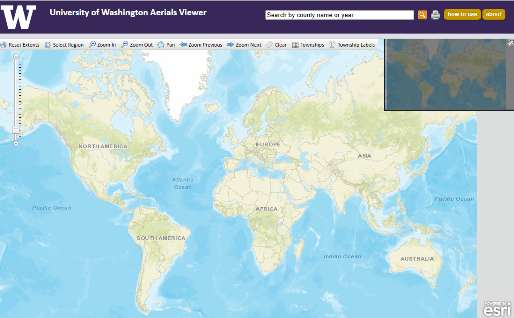
Geospatial Data, Maps, & Aerial Photography
Explore the collection: GIS software, approximately 270,000 map sheets, and over 86,000 aerial photographs.
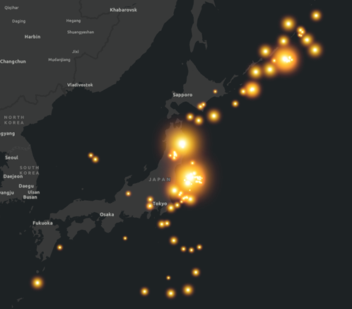
Connect with the UW GIS Community
The UW GIS Symposium highlights and celebrates the transformational role of Geographic Information Systems (GIS), remote sensing, and data visualization technologies at the UW and beyond.